Problem Overview
Kangaroo Island is located 110 km (70 miles) south-west of Adelaide and is easily accessible by a ferry or plane. Agriculture is the main source of income of people living in this area. One of the major challenges that landholders of Kangroo Island is facing is to find suitable areas for farming. The suitable farming land should meet the following criteria:
- At least 1km from reserves,
- Within currently forested land,
- Less than 2.5km from sealed roads,
- Must be on land below 50m elevation.
This hidden knowledge can be easily drawn with the aid of our developed OSA plugin which makes the resulting spatial analytics process shareable and understandable by all.
Solution Overview
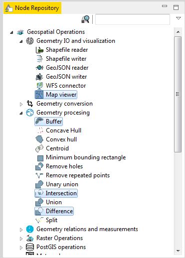
In order to resolve the aforementioned problem, we make use of the three OSA nodes including Buffer, Intersection, and Difference. Strictly speaking, a Buffer node returns a geometry that represents all points whose distance from this geography is less than or equal to distance. Intersection Node calculates the intersection of two geometries of different dimension and produces a result geometry of dimension less than or equal to the minimum dimension of the input geometries. And finally, Difference node returns the closure of the point-set of the points contained in first Geometry that are not contained in the second Geometry. These nodes are shown in the following. Additionally, the results can be viewed with the aid of Geo Map Viewer.
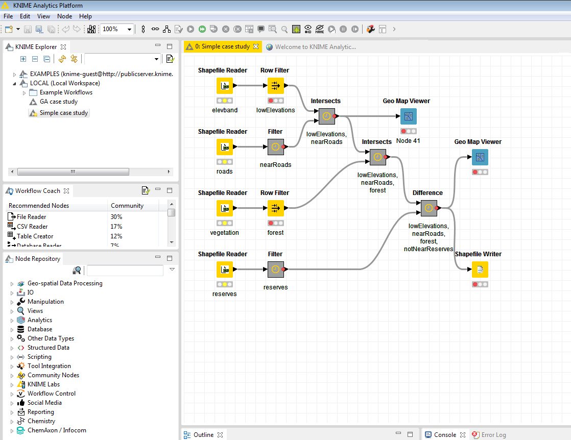
The final workflow is depicted in the following figure. As you can see, we have added a number of intermediate nodes to this workflow including:
- let nearReserves = Buffer 1km from reserves.shp
- let forrest = select GEOM from vegetatn.shp where FEAT_CODE = ‘forest’
- let nearRoads = Buffer 2.5km from (select GEOM from roads.shp where CLASS = 2, 3, or 4)
- let lowElevations = select GEOM from elevband.shp where ELEVATION = 0
- lowElevations Intersect nearRoads = lowElevationsNearRoads
- lowElevationsNearRoads Intersect forrest = lowElevationsNearRoadsForrest
- lowElevationsNearRoadsForrest Difference nearReserves = suitable
Download resources
The workflow and input data sources can be downloaded from here.
Output
The result can be viewed using the GeoMapViewer node.
 Loading...